Remote Sensing Handbook, Volume II
 portes grátis
Remote Sensing Handbook, Volume II
Image Processing, Change Detection, GIS, and Spatial Data Analysis
Thenkabail, Prasad S.
Taylor & Francis Ltd
11/2024
464
Dura
9781032890975
Pré-lançamento - envio 15 a 20 dias após a sua edição
Descrição não disponível.
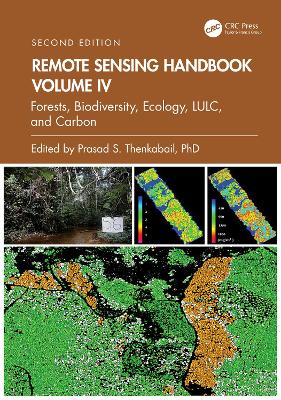
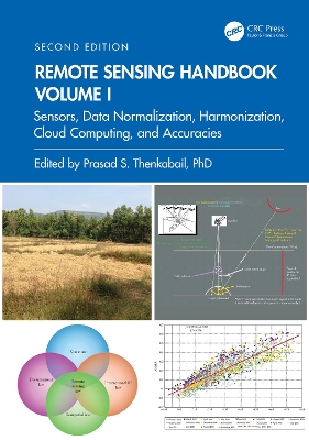
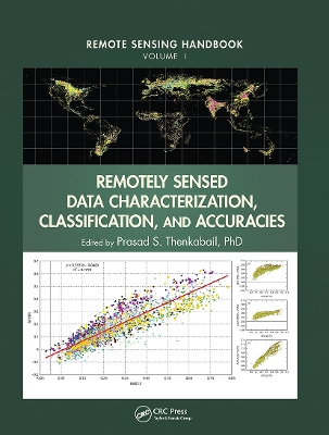
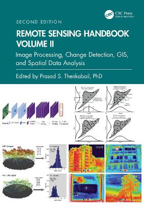
Part I: Image Processing Methods and Approaches. 1. Digital Image Processing: A Review of the Fundamental Methods and Techniques. 2. Image Classification Methods in Land Cover and Land Use and Cropland Studies. 3. Urban Image Classification: Per-pixel Classifiers, Sub-pixel Analysis, Object-based Image Analysis, and Geospatial Methods. 4. Hyperspectral Image Processing: Methods and Approaches. 5. Collaborative Representation for Hyperspectral Image Classification and Detection. 6. Thermal Infrared Remote Sensing: Principles and Theoretical Background. 7. Remote Sensing Image Segmentation: Methods, Approaches, and Advances. 8. Object Based Image Analysis: Evolution, History, State-of-the-Art and Future Vision. 9. Geospatial Data Integration in OBIA- implications of Accuracy and Validity. 10. Image Segmentation Algorithms for Land Categorization. 11. LiDAR Data Processing and Applications. Part II: Change Detection. 12. Forest Clear-Cutting Detection in Subtropical Regions with Time Series Remotely Sensed Data. Part III: Integrating Geographic Information Systems (GIS) and Remote Sensing in Spatial Modeling Framework for Decision Support. 13. Geoprocessing, Workflows, and Provenance. 14. Toward Democratization of Geographic Information: GIS, Remote Sensing, and GNSS Applications in Everyday Life. 15. Frontiers of GIScience: Evolution, State-of-Art, and Future Pathways. 16. Object-Based Regionalization for Policy-Oriented Partitioning of Space. Part IV: Summary and Synthesis of Volume II. 17. Remote Sensing Handbook, Volume II: Image Processing, Change Detection, GIS and Spatial Data Analysis.
Este título pertence ao(s) assunto(s) indicados(s). Para ver outros títulos clique no assunto desejado.
Satellite, Global Navigation Satellite Systems, Big Data, Calibration;Optical, Radar, Lidar, Microwave, Hyperspectral, UAV;Crowdsourcing, Cloud Computing;Google Earth, Geospatial Data, Geoprocessing, Data Mining;Vegetation, Agriculture, Water Security, Food Security;Droughts, Disasters, Floods, Natural Resources