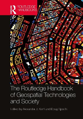
Routledge Handbook of Geospatial Technologies and Society
 portes grátis
Routledge Handbook of Geospatial Technologies and Society
Kent, Alexander J.; Specht, Doug
Taylor & Francis Ltd
05/2025
656
Mole
Inglês
9781032431284
Pré-lançamento - envio 15 a 20 dias após a sua edição
Descrição não disponível.
Introduction Part I: Origins and Perspectives of Geospatial Technologies 1. Latitude, Longitude, and Geospatial Technologies to 1884 2. The Photo-mechanical Era of Cartography: A Recollection 3. The Roots of GIS 4. Positivism, Power, and Critical GIS 5. Geospatial Standards: An Example from Agriculture 6. Technology, Aesthetics, and Affordances 7. Race and Mapping 8. Feminist Geography and Geospatial Technologies 9. Mapping the Subaltern 10. Geospatial Technologies and Rural and Indigenous Spatial Knowledges 11. Social Constructivism and Geospatial Technologies: Neogeography, Big Data, and Deep Maps Part II: Understanding Geospatial Technologies 12. Mobile Mapping 13. Airborne and Ground-based Laser Scanning 14. Drones and Unmanned Aerial Vehicles (UAVs) 15. Airborne Photogrammetric Mapping 16. Digital Elevation Models (DEMs) 17. Extended Realities (XR) 18. Free and Open-Source Software for Geospatial Applications (FOSS4G) 19. APIs, Coding and Language for Geospatial Technologies 20. Spatial Analysis and Modelling 21. The Geovisualisation of Big Data 22. Machine Learning and Geospatial Technologies 23. Artificial Intelligence for Geospatial Applications Part III: Applications of Geospatial Technologies 24. Location Matters: Trends in Location-Based Services 25. Mapping Buildings and Cities 26. Underground Mapping 27. Geospatial Technology and Food Security: Forging a Four-Dimensional Partnership 28. The Past, Present and Future of Technologies for Improved Water Management 29. Ocean Mapping: Taxonomies of the Fluid Geospatial 30. Geospatial Technologies in Transport: Shaping and Recording Everyday Lived Experiences 31. Geospatial Technologies in Electrical Systems 32. Geospatial Technologies and Public Health 33. Applications of GIScience to Disease Mapping: A COVID-19 Case Study 34. Geosurveillance and Society 35. Geospatial Technology and Journalism in a Post-truth World 36. Advancing Sustainability Research through Geospatial Technology and Social Media 37. Crisis and Hazard Mapping 38. Humanitarian Relief and Geospatial Technologies 39. Geospatial Technology and the Sustainable Development Goals (SDGs) 40. Maps of Time 41 Geospatial Technologies in Archaeology 42. Mapping Planetary Bodies Part IV: New Ontologies and Strategies for Geospatial Technologies 43. Toward the Democratization of Geospatial Data: Evaluating Data Decisioning Practices 44. Developing Geospatial Strategies 45. Map Thinking Across the Life Sciences 46. Spatial Anthropology: Understanding Deep Mapping as a Form of Visual Ethnography 47. The Quantum Turn for Geospatial Technologies and Society 48. The Locus Charter: Towards Ethical Principles and Practice for Location Data Services
Este título pertence ao(s) assunto(s) indicados(s). Para ver outros títulos clique no assunto desejado.
Geospatial Technologies;Volunteered Geographic Information;GNSS;Geospatial Data;UN;MMS;Big Geospatial Data;Critical GIS;Laser Scanning;TLS;Gps Receiver;ALS;Deep Maps;OGC;Leica Geosystems;Geospatial Information;Applanix POS;Laser Rangefinder;National Mapping Agency;Point Cloud;Apple Maps;Machine Learning Models;VIIRS;Open Source Software;GIS Scholar

