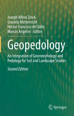
Geopedology

Geopedology

An Integration of Geomorphology and Pedology for Soil and Landscape Studies

Metternicht, Graciela; del Valle, Hector Francisco; Zinck, Joseph Alfred; Angelini, Marcos

Springer International Publishing AG

01/2023

582

Dura

Inglês

9783031206665

15 a 20 dias

1159

Descrição não disponível.
In Memoriam.- Preface.- Chapter 1. Introduction.- Part I. Foundations of geopedology.- Chapter 2. Theoretical framework.- Chapter 3. Relations between geomorphology and pedology: brief review.- Chapter 4. The geopedologic approach.- Chapter 5. The pedologic landscape: organisation of the soil material.- Chapter 6. The geomorphic landscape: criteria for classifying geoforms.- Chapter 7. The geomorphic landscape: classification of geoforms.- Chapter 8. The geomorphic landscape: the attributes of geoforms.- Part II. Approaches to soil-landscape patterns analysis.- Chapter 9. Knowledge is power: where Digital Soil Mapping needs geopedology.- Chapter 10. Geodiversity and Geopedology in a logarithmic universe.- Chapter 11. Algorithms for quantitative Pedology.- Chapter 12. Interaction of geological and pedological processes in the genesis of soils with gypsum, northern Patagonia, Argentina.- Chapter 13. Use of soil maps to interpret soil-landform assemblages and soil-landscape evolution.- Part III. Methods and techniques applied to pattern recognition and mapping.- Chapter 14. Digital soil texture maps of Argentina and their relationship soil-forming factors and processes.- Chapter 15. Synergistic use of radar and optical image data for improved land use and land cover assessment: a case study in the north of Entre Rios province (Argentina).- Chapter 16. Landslide susceptibility mapping using supervised learning methods - case study: southwestern Colombia.- Chapter 17. Polygenic vertisols and "hidden" vertisols of the Parana river basin, Argentina.- Chapter 18. Mapping gilgai micro-relief and its impact on dryland agricultural landscapes using time series of NDVI derived from Sentinel-2 imagery.- Part IV. Applications in land degradation and geohazard studies.- Chapter 19. Gully erosion analysis. Why geopedology matters?.- Chapter 20. Soil erosion assessment and mitigation scenarios based on Geopedology in northwestern Patagonia, Argentina.- Chapter 21. Adequacy of soil information resulting from geopedology-based predictive soil mapping for assessing land degradation: case studies in Thailand and Iran.- Chapter 22. Exploring the contribution of geopedology to the implementation of national frameworks for land degradation neutrality.- Part V. Applications in land use planning and Policy.- Chapter 23. Geo-pedological approach for land use planning: case studies from India.- Chapter 24. Geopedologic information, foundation for soil conservation: Land evaluation, land use allocation and associated conservation practices.- Chapter 25. The relevance of geopedology for policy making and soil security.- Chapter 26. Significance of land cover change for soil regulating ecosystem services using Maine's Climate Action Plan as a case study.- Chapter 27. Upscaling the integrated Terroir zoning through Digital Soil Mapping disaggregation: a case study in the designation of origin Campo de Borja.- Part VI. Synthesis.- Chapter 28. Concluding remarks and outlook.
Environmental management;Geomorphology;Landscape and regional planning;Remote sensing;Soil science and conservation