Environmental Remote Sensing and GIS in MENA Region
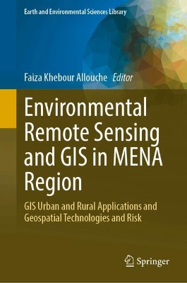
Environmental Remote Sensing and GIS in MENA Region

GIS Urban and Rural Applications and Geospatial Technologies and Risk

Khebour Allouche, Faiza

Springer International Publishing AG

05/2025

351

Dura

Inglês

9783031865732

Pré-lançamento - envio 15 a 20 dias após a sua edição

Descrição não disponível.
Introduction to Environmental Remote Sensing and GIS in MENA Regions.- GIS and remote sensing for a better understanding of ancient and modern rainwater harvesting strategies and the identification of current potentials and improvement possibilities.- The National Strategy for the Development of Small Pelagic Fisheries in the Northeast of Tunisia (Central Mediterranean): Status and Prospects.- Benthic Trawling Bycatch Discards and Fisheries Management in Northern Tunisia (G12 Area) Western Mediterranean Sea.- Remote sensing applications with Google earth engine.
Este título pertence ao(s) assunto(s) indicados(s). Para ver outros títulos clique no assunto desejado.
Application of Remote Sensing and GIS in Environment;Middle East and North Africa (MENA) Region;Human Activities Impacts on Environment;Role of Geoinformatics in Urban-Rural Planning;Statistical-based method to spatial flood susceptibility mapping;Remote sensing;GIS;Risks;Urban Heat Island;GEE;Model;Fisheries;Watershed;Urban Vegetation;Planning;Anthropogenic;Climate Change;LULC;RWH