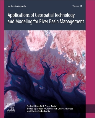
Applications of Geospatial Technology and Modeling for River Basin Management
 portes grátis
Applications of Geospatial Technology and Modeling for River Basin Management
Chatterjee, Uday; Chakrabortty, Rabin; Chandra Pal, Subodh
Elsevier - Health Sciences Division
09/2024
400
Mole
9780443238901
Pré-lançamento - envio 15 a 20 dias após a sua edição
2. Hypsometric Analysis for Erosion Susceptibility of Karnaphuli Watershed, Bangladesh, using Remote Sensing and GIScience
3. Impact analysis of the 2022 flood event in Sylhet and Sunamganj using Google Earth Engine
4. Geographical Appraisal of Basin Hydrological Phenomenon Using Google Earth Engine
5. Arsenic enrichment in groundwater mechanism through hydro-geochemical control, mobilization and sorption in the lower Gangetic basin in West Bengal
6. Geo-Spatial Technique Based Flood Hazard Assessment and Mapping: A Case Study of Orang National Park, Assam, India
7. Anatomization of Flood Risk and Vulnerability using AHP and Frequency Ratio in Dibrugarh District of Assam, India
8. Quantifying Land use / land cover dynamics and fragmentation analysis along the stretch of Bhagirathi River in Murshidabad District, West Bengal
9. 2D hydro-numeric flood modelling using open-source software QGIS and freeware BASEMENT (V3) on a section of the Elbe River in Magdeburg, Germany
10. Drought monitoring using a water scalar index
11. Agricultural Drought Monitoring Using Google Earth Engine: A Study of Paschim Medinipur District, West Bengal
12. Geo-Spatial and Statistical Techniques of Regionalization for River Basin Management
13. Analysis of Watershed Attributes for Water Resource Management Using Geospatial Technology: A Case Study of Haringmuri Watershed
14. Ecological and Economical Services of Coastal Landscape: A Case Study on Ramnagar-I and II Block, Purba Medinipur, West Bengal, India
15. Comparative study of remote sensing derived indices for meteorological and agricultural drought monitoring in GIS environment: A review
16. GIS-based Statistical Mapping of Socio-economic Vulnerability in the Upper Citarum River, West Java Province, Indonesia
17. Assessing the impact of channel migration and bank erosion on the loss of agricultural land and LULC change in the lower course of Kankai Mai River - a geospatial approach
18. Geo-spatial modeling of Potential soil erosion estimation for sustainable soil conservation planning and management
19. Assessment of Riverbank Erosion and Its Prediction using Geospatial and Machine learning Techniques
20. Impact of soil erosion and resultant sediment yield on different stream orders
21. Prediction of gully erosion vulnerability using geospatial tools and machine learning algorithms: A critical review
22. Community Preferences in the Adaptation of River Neighbourhood at Skudai River, Malaysia
23. Estimation of soil erosion risk and vulnerable zone using RUSLE and GIS approaches
24. Monitoring of Land Degradation and Desertification using the state-of-the-art methods and remote sensing data
25. Impact of rapid urbanization on groundwater environment: A geospatial analysis with special reference to Bolpur-Sriniketan C.D. Block Of Birbhum District in lower Ajay river basin since last decade
26. Water management sustainability evaluation at the river basin level: concept, methodology, and application
27. A Machine Learning Methodology to Calculate the Percentage of Areas Affected by Drought in Brazil in Map Images

